Drones and Construction: Maximizing the benefits while minimizing the risk
Risk management
Following the safety and security items discussed within this article ensures safe flight operations. However, an experienced, skilled, and competent pilot—who should be aware of all the risks associated with the nature of the flight operations—should always be a prerequisite. The pilot has the sole responsibility to remotely operate and maintain control of the drone within established flying limits, using a single control source provided by the system manufacturer while maintaining continuous unaided visual contact with the drone. The pilot should not operate the camera during flight operations and should always carry out established safe operating checks before each takeoff.
Abiding by a project specific safety plan will also minimize any risk. Prior to conducting a drone inspection, if an update of the drone or remote controller software was installed, extensive operational trial and tests should be carried out to ensure no changes to safe performance were caused by the update. A site survey of buildings, structures, surroundings, or the area to be aerial photographed, should then be carried out to ensure safe conditions exist. Potential hazards such as close-by trees and power and telephone lines should be studied beforehand. The possibility of wireless frequency interference such as nearby communications towers, and the ability to maintain adequate satellite connections especially around high-rise buildings should also be examined.
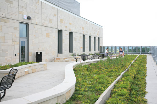
Operation zones need to be established around each inspected building or structure and, before commencement of operations, boundaries should be identified using traffic cones, caution tape, or other appropriate means. Warning signs should also be temporarily posted to notify individuals encroachment within the operation zones is for authorized personnel only. Entrances to buildings should be temporarily locked or guarded until the drone has cleared the area, and vehicles should not be permitted to park within the operation zone boundaries. A watch-person needs to be appointed to notify persons of the need to keep clear of the boundaries. Where appropriate, and if necessary, sidewalk and street closure permits must be obtained from the appropriate authority.
Perhaps the most important consideration for safe flying is the weather. High winds and gusting conditions provide the greatest challenge to pilots, and rain and snow to the electronic equipment. Low temperature not only considerably reduces battery life, but also adversely influences electronic equipment, including the operation of tablets, notebooks, etc. Flight operations should also only take place when visibility in the area is not less than “three statute miles” (i.e. 4.8 km) and the cloud base is not less than 304.8 m (1000 ft) above ground level.
Emergency contingency plans
A risk assessment should take place for each building/structure inspection or aerial photography operation to consider appropriate measures to take in the event of an accident or emergency. A fire extinguisher and a first aid kit should be on hand during each flight and the location of the nearest hospital, as well as emergency phone numbers and contact names should be kept on file. In the unlikely event of a disaster, 911 emergency services should be immediately contacted and communication with the closest air traffic services (ATS) unit should be established.
Conclusion
There is little doubt the use of drones within the construction industry and other related sectors is here to stay and will continue to grow at an ever-increasing rate. The benefits of their use are considerable, but the risks cannot be ignored. Although modern technology has become sophisticated, there is also little doubt new improvements will be made within the near future—particularly to cameras, battery life, and stability under difficult weather conditions. Of course, the privacy of others should always be respected and appropriate measures should be taken to ensure occupants of buildings are fully aware when drone inspections are in progress.
| COMMERCIAL APPLICATIONS FOR DRONES |
|
The number of non-military applications for drone technology is seemingly endless and continues to grow as the technology improves. So far, drones have been used by:
|
 Paul Jeffs has more than 45 years of experience in the construction industry around the world. He is principal of PJ Materials Consultants Ltd., a Guelph, Ont.-based company that provides consulting and sub-consulting services across Canada for the investigation, construction, and restoration of masonry and concrete structures. He can be reached at pjeffs@pjmc.net.
Sign up for our weekly newsletter
Construction Canada weekly newsletters give the latest AEC industry news for those who build, design, engineer, specify, renovate or operate in the built environment.
Products & Services
Read the Latest Issue